Blinking Dots and Blind Spots: The Real Reach of Kenya's Lion Tracking Data
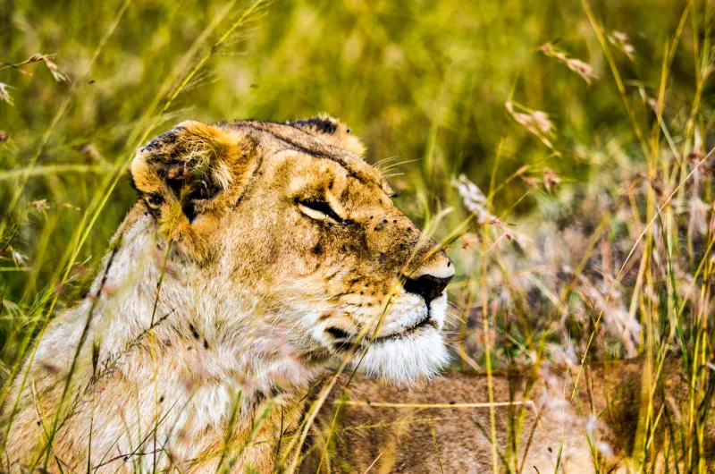
A lion wearing a satellite collar appears, in the language of a press release, to be a problem solved. There is a dot on a map, a timestamp, a battery reading. Somewhere a ranger can see it. Yet researchers working on Kenya's lions are unusually candid about the gap between what telemetry reveals and what conservation requires. The instrument is powerful. It is also partial, and the way its outputs are reported to the public often obscures that.
What a Collar Physically Records
A modern unit logs positions at programmed intervals, transmits them through satellite or mobile networks, and may carry accelerometers, mortality sensors, or very-high-frequency beacons for ground tracking. From position fixes, analysts derive home range estimates, habitat selection, movement corridors, and — when significant numbers of animals are collared across a landscape — broad patterns of connectivity between populations.
Those are real gains. Two decades ago, a lion's nocturnal movements across a ranch boundary were a matter of anecdote. Now they can be documented.
The Sample Is Smaller and Stranger Than It Looks
Collaring is expensive, logistically demanding, and requires veterinary oversight. The resulting sample in most Kenyan landscapes is numbered in dozens, not hundreds, and it is not random. Female lions in accessible prides on land with road networks get collared more often than wide-ranging males in thick bush. Animals near settlements may be avoided altogether, which is precisely where the interesting conflict data would be.
A collar also changes the animal it monitors, if only slightly: the capture event carries risk, and an individual under observation may be treated differently by managers than one that is not. A collar on one female says something about that female. It says much less about her pride, and almost nothing about lions in the next county.
The Conflict Gap
Here is the central limitation. Most human-lion conflict in Kenya occurs at night, at bomas, on private or communal land outside formal protected areas. Telemetry tells you where a lion is. It does not tell you why, whether livestock were present, whether an enclosure was weak, or whether a herder had already tried three non-lethal deterrents.
Geofence alerts — automatic notifications when a collared animal approaches a defined boundary — have genuine value where a rapid response team exists and can act within hours. But the binding constraint is rarely information. It is capacity: vehicles, fuel, personnel on call at 2 a.m., and the community relationships that determine whether a warning call is heeded or resented.
Where response capacity is thin, an alert system can generate frustration rather than protection. Researchers increasingly emphasize pairing telemetry with social data: household surveys, boma audits, and interviews conducted over years rather than seasons.
Camera Traps Sample Differently, and Also Unevenly
Camera traps offer a complementary view, and in some ways a fairer one — individuals can be identified from whisker-spot patterns, occupancy models can estimate presence without capturing animals, and bycatch records other species at no extra cost. The distortions simply shift. Trap placement follows roads, water points, and known travel routes; false triggers from vegetation and heat fill memory cards; dry and wet seasons produce different detection probabilities. Spatially explicit capture-recapture models can correct for some of this, provided the design was sound before the first photograph was taken.
Reading a "Tracked Lion" Story
When a story reports that a collared lion has left a reserve, three questions will usually separate reporting from speculation. First, is the movement unusual for the individual or the season, or is it dispersal behavior that has been documented for decades? Second, what was the fate of the animal — was it monitored to a conclusion, or did the signal simply stop? Third, who is making the management claim, and is it based on telemetry alone or on field verification?
American readers have practice with this. Wolf packs in Yellowstone and mountain lions in the Santa Monica Mountains generate similar coverage, and the U.S. Geological Survey's long-running fieldwork there has repeatedly shown that a collar record is a starting point for investigation, not a verdict. Florida panther telemetry has saved lives on highways; it has also demonstrated how much a single road crossing costs.
What Still Needs to Be Built
Researchers point to three shortfalls. Post-translocation and post-release monitoring remains inconsistent, so survival estimates for relocated lions rest on thin evidence. Data are scattered across institutions and agencies with no shared archive, meaning landscapes cannot easily be compared. And the human dimension — costs borne by pastoralists, tolerance thresholds, compensation mechanisms — is chronically underfunded relative to the hardware.
A Case for Methodological Humility
None of this argues against collaring. It argues against treating a blinking dot as a policy. The valuable output of Kenya's lion telemetry is not the location of an individual but the accumulation of movement evidence across years — where corridors narrow, where ranges overlap with livestock, where a population is quietly contracting.
That evidence arrives slowly, is often ambiguous, and does not photograph well. It remains the best foundation available for decisions about Kenya's lions, and it deserves to be read with the care its limitations demand.