Where the Asphalt Cuts the Corridor: Kenya's Missing Roadkill Record
Drive the Mombasa Road through Tsavo before dawn and you may pass what no guidebook mentions: a zebra carcass on the shoulder, a dog feeding at the verge, a smear that was a genet two hours earlier. By midday, most of it has been dragged clear or flattened into the tarmac. Nothing has been counted.
Kenya maintains detailed records of poaching, human-wildlife conflict, and tourist arrivals. It maintains no national record of wildlife killed by vehicles. That absence is not a minor bookkeeping gap. Road mortality is one of the few conservation pressures that can be located precisely, priced honestly, and mitigated with engineering — but only if someone is keeping score.
The number nobody keeps
Fragments of the picture exist in incompatible places. Rangers note collisions in some park diaries. Traffic police record them when a vehicle is damaged and a report is filed. Conservancies track them informally when a carcass turns up near a gate. Insurers see the vehicle side, not the wildlife side. No institution is charged with assembling the whole.
The consequences are practical. A highway authority planning a dualling project cannot argue for a wildlife overpass on the strength of anecdotes. A county government weighing a new fence along a corridor has no baseline against which to measure the fence's effect. A researcher estimating the cost of a road upgrade to a giraffe population has no collision series to model.
What hotspot mapping tends to show
Where ad hoc data have been gathered — by conservancies, by researcher-led roadside surveys, by individual biologists with a GPS and a long afternoon — patterns recur with striking consistency.
Collisions cluster at dusk and in the first hours of darkness, when visibility drops faster than driver behavior adjusts. They cluster on straight, fast, unfenced sections where sight-distance is long and speed is high. They cluster at corridor pinch points, where a road narrows a route that animals have used for generations, and at the mouths of culverts and drainage structures that animals attempt to use as crossings. They spike in the wet season, when surface water pulls herbivores toward the verge.
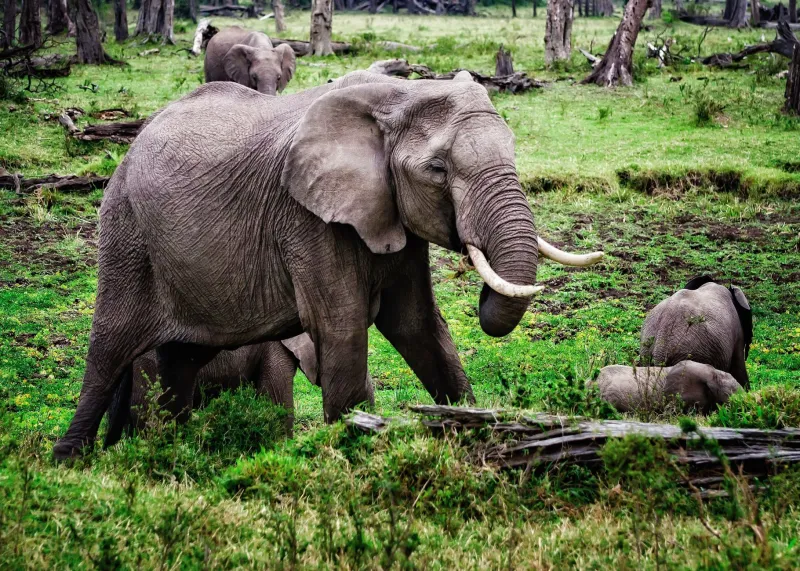
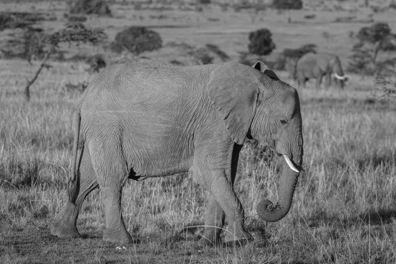
The species mix is broader than the elephant headlines suggest. Giraffe and elephant collisions on the Tsavo stretch and around Nairobi National Park's perimeter attract attention because the carcasses are large and the photographs are stark. But the numerical bulk of mortality is smaller, quieter, and less reported: genets, servals, mongooses, monitors, hares, owls, and domestic dogs. For wide-ranging carnivores, a road that kills a few individuals a year can quietly become a population sink.
The corridor question is a land-use question
It is tempting to treat roadkill as a driver-behavior problem. It is more accurately a symptom of what has happened to the land on either side. Fencing erected to protect crops, subdivisions carved from ranchland, flower farms and their perimeter walls, and the steady conversion of dispersal habitat between protected areas have all narrowed the routes available. The road did not create the bottleneck. It hardened one.
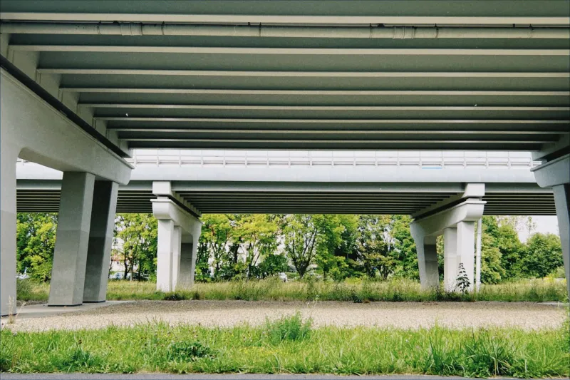
That framing matters for solutions. Underpasses and overpasses work — the Ngare Ndare crossing associated with the Lewa corridor and comparable structures elsewhere in East Africa have demonstrated that elephants will use purpose-built passages when they connect genuine habitat. But a structure placed where the corridor has already been severed is expensive scenery. Placement depends on knowing where animals actually cross, which depends on data that currently does not exist at national scale.
What transfers from American road ecology — and what does not
The United States has a long head start. State transportation departments, insurance-industry estimates of deer-vehicle collisions running into the millions annually, volunteer carcass surveys such as the California Roadkill Observation System, and a generation of underpass and overpass retrofits have produced both methods and political vocabulary that Kenyan planners can borrow.
What does not transfer is the data substrate. American estimates lean heavily on insurance claims and standardized police reporting — two streams Kenya lacks at comparable coverage. Nor does the funding model transfer: a wildlife overpass that reads as routine capital expenditure in a wealthy highway budget is a major philanthropic lift in a constrained one. Land tenure differs as well. A state department of transportation controls its right-of-way; Kenyan corridors frequently cross community land, conservancies, and private ranches, which means mitigation is negotiated rather than specified.
The traffic profile is different too, and in ways that matter for interventions. Kenyan trunk roads carry fewer vehicles per hour than an American interstate, but speeds on the long straight sections are high, night driving is common, and the fleet includes loaded lorries, matatus running fixed schedules, and motorcycles that no American countermeasure was designed to accommodate. Signs and fencing, the cheapest American tools, are also the ones most easily defeated by a corridor with no alternative crossing point.
What a national system would actually require
A workable Kenyan roadkill record does not need an app. It needs a custodian and a form.
A single owner. Kenya Wildlife Service is the natural lead, but the system must be jointly governed with the roads authority, the police, and county governments, or it will fragment again within two budget cycles.
A short, standardized record. Date and time, GPS point or nearest kilometer marker, species, age class, carcass condition, habitat on both sides, and a photograph. Ten fields, not a research protocol.
Low-friction entry. Most reports will come from rangers, tour drivers, and highway patrols, often at night with poor signal. An SMS or messaging-based submission channel that accepts coordinates and a photo will outperform an elaborate web portal.
Verification and deduplication. Two drivers reporting the same dead giraffe is one event. Without a basic review step, hotspots inflate.
Sensitive-species masking. Precise locations for rhino, pangolin, and other targeted species should not be public, even in aggregate.
Five years of funding. Corridor planning operates on multi-year horizons. A system funded annually will be abandoned before it produces its first useful map.
What drivers and tour operators can do now
Stop only where it is safe: fully off the carriageway, hazard lights on, reflective vest at night. Do not step into a live lane to photograph a carcass on a blind curve, and never move a large animal without authority. Report the location to the nearest ranger post or park gate, with coordinates if you have them. If you are driving with a guide, ask whether the company keeps a collision log. The answer is often instructive.
A map, not a morgue
A roadkill record is easy to mistake for morbidity. It is better understood as a planning instrument — the cheapest evidence a country can gather about where its wildlife corridors still function and where they have been cut. Kenya cannot afford to build a crossing at every suspect kilometer. It can afford to find out which kilometers matter. The distinction requires nothing more than a form, a custodian, and the institutional willingness to count what is already being lost.